Overview
One integrated digital transformation systemfor an entire professional workflow
GeoMiz brings the taxation and fee operations of Morocco's judicial officers into a single digital system — from case intake to calculation, payment, notification, and archive — with geographic precision and full traceability at every step.
It works across two connected access points: regional council presidents and users run the day-to-day work on the web platform — handling cases, applying workflows, managing information and accessing dashboards — while judicial officers follow the progress of their requests and receive notifications through the mobile application, and can also follow their information on the web.
The operational challenge
From manual and fragmented, to structured and connected
BEFORE
Paper-based handling
Improvised manual calculations
Uncertainty about enforcement locations
Limited tracking
Fragmented communication
Difficult reporting
WITH GEOMIZ
Digital case handling
Verified automated calculation
The distance is documented using GIS
Real-time traceability
Coordinated notifications
Verified dashboards and statistics
How GeoMiz works
One flow, from request to report
- 01
A request or case enters
A case or request is opened in the system.
- 02
A clerk manages it on the web
A clerk or authorized user handles it through the web platform.
- 03
Information is structured
Data and workflow stages are captured in a consistent, verifiable form.
- 04
Rules, calculations & GIS apply
Official scales, rules and GIS distance data are applied automatically.
- 05
The user receives instant notifications
The relevant user is notified at the right moment.
- 06
The relevant regional council president follows the progress of operations
Through the mobile application — or via web access — the regional official tracks the movement of enforcement files.
- 07
Dashboards give visibility
Reports and statistics highlight activity for institutional oversight and decision guidance.
Core capabilities
Everything the workflow needs, in one place
Digital case handling
Automated fee calculation
GIS-based distance
Notifications
Receipts & records
Real-time traceability
Administrative dashboards
Statistics
Institutional visibility
Structured management
Dashboards turn daily operations into institutional visibility
Administrative dashboards and statistics give supervising bodies transparency over activity — supporting oversight, coordination and informed decisions. Figures shown in the live system reflect real operations; none are reproduced or estimated here.
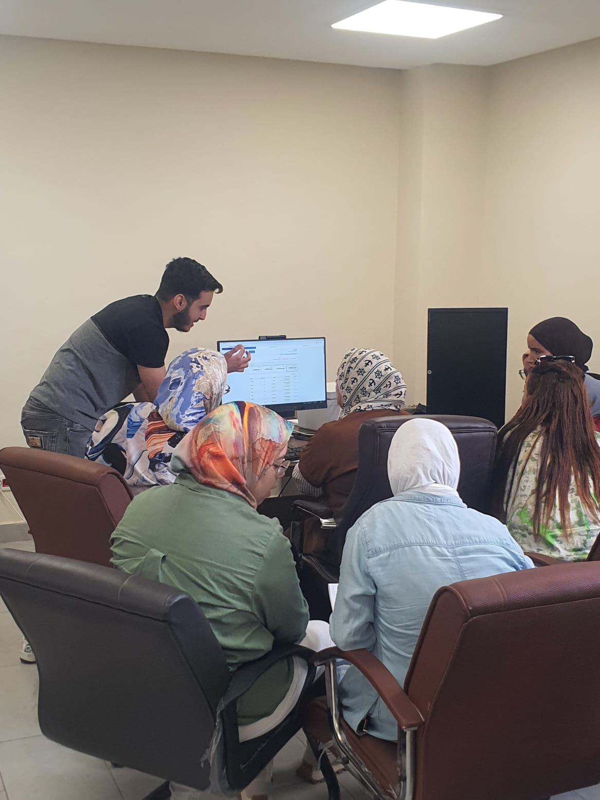
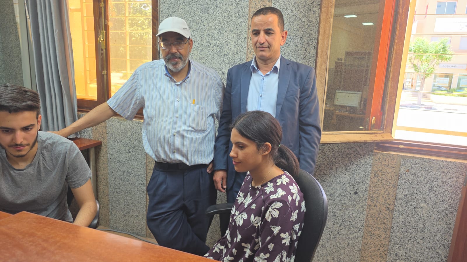
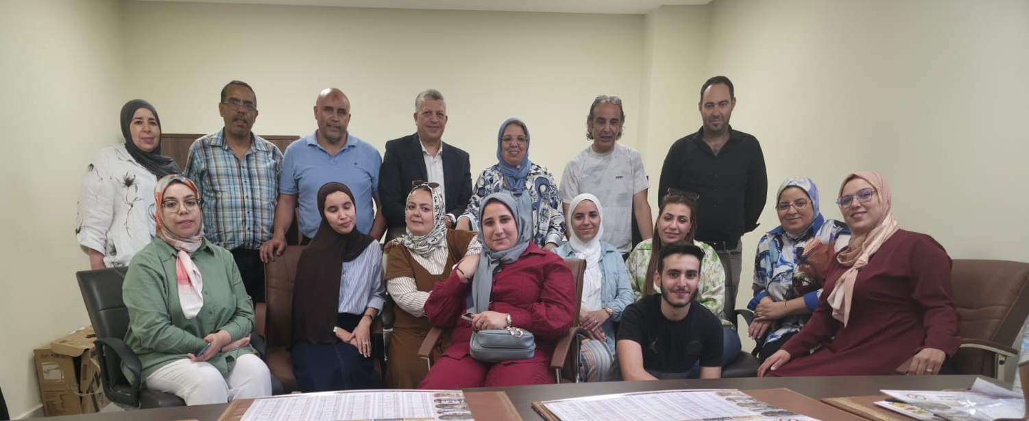
Progressive implementation with training and field preparation — Meknès–Errachidia, 18–19 June 2026.
System architecture
Users, rules and geography — connected to data and decisions
Two access layers surround the GeoMiz core. The operational web platform is used by users for workflow, administration, case management and dashboards; user access is by mobile application or web for notifications and progress tracking.
A high-level, representative view of the two access layers around the GeoMiz core — the operational web platform and user access by mobile or web. No specific backend technologies are implied.
Mobile application
GeoMiz is available on Google Play
Receive notifications and follow operational progress through the GeoMiz mobile application.
Available now

Access requires an authorized GeoMiz account provided by the relevant organization.